To Americans, a Broad is slang for a girl or woman. But in the East of England the term is used to represent something almost as beautiful - a wide open piece of water or a shallow lake. In the county of Norfolk, the Broads are a unique area of picturesque wetland that is under threat from the effects of rising sea levels due to global warming. The Broadland landscape is one of beauty and peace, of water, marsh, woodland and wide skies - with views of ancient church towers and windmills. There is abundant wildlife including many rare butterflies and dragonflies. However, due to its close proximity to the North Sea, this ancient wetland is under threat of regular flooding by sea water, potentially changing this fresh water habitat forever. This article introduces you to 5 beautiful Broads - Norfolk Broads that is - and shows why the future of this beautiful landscape is under threat. |
Wroxham Broad is located near the Capital of the Broads, Wroxham village, and yet its beauty can only be appreciated by boat. You can hire boats from Wroxham or take an organised cruise. The Norfolk Broads Sailing Club is based at Wroxham Broad, and for many years they welcomed visitors by serving afternoon tea, complete with cucumber sandwiches, elegantly served on tables covered with a snowy white linen tablecloth on Sunday afternoons - so English! |
||||||
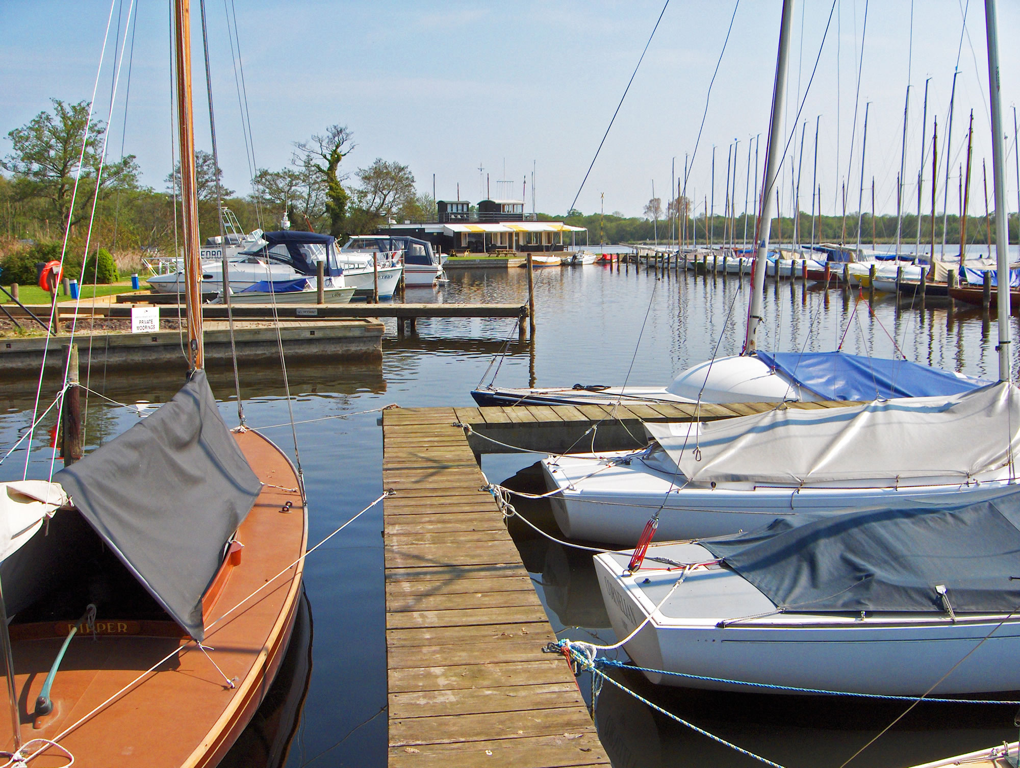 Yachts moored at the sailing club on Wroxham Broad |
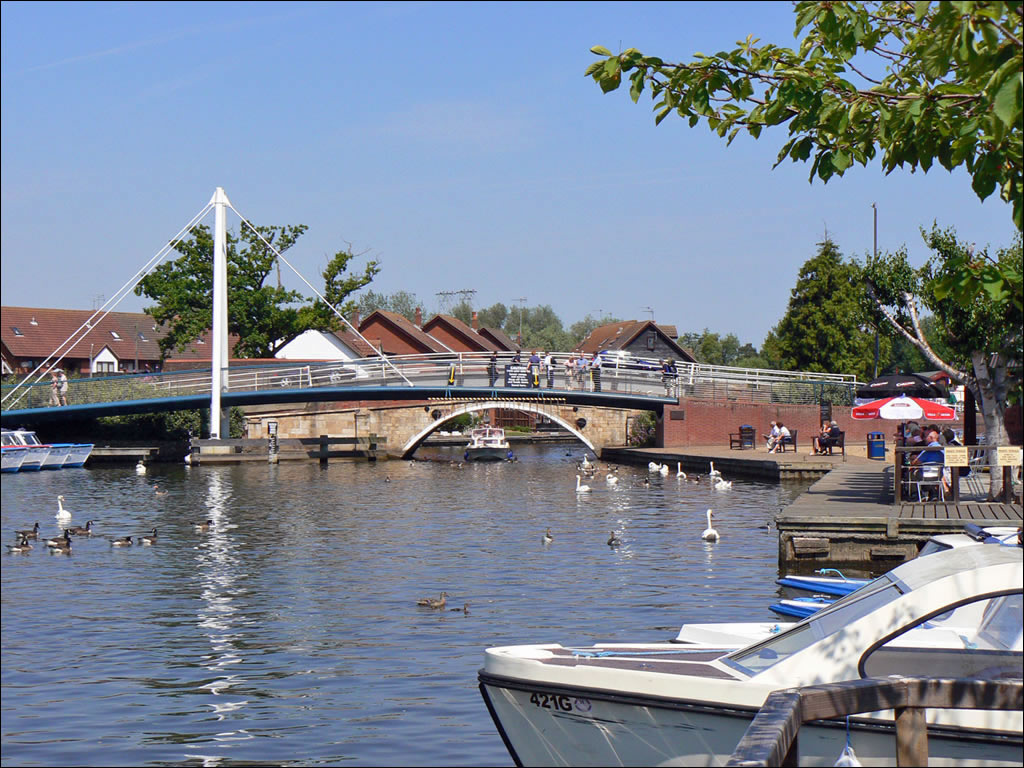 Boats from nearby Wroxham to Wroxham Broad |
|||||
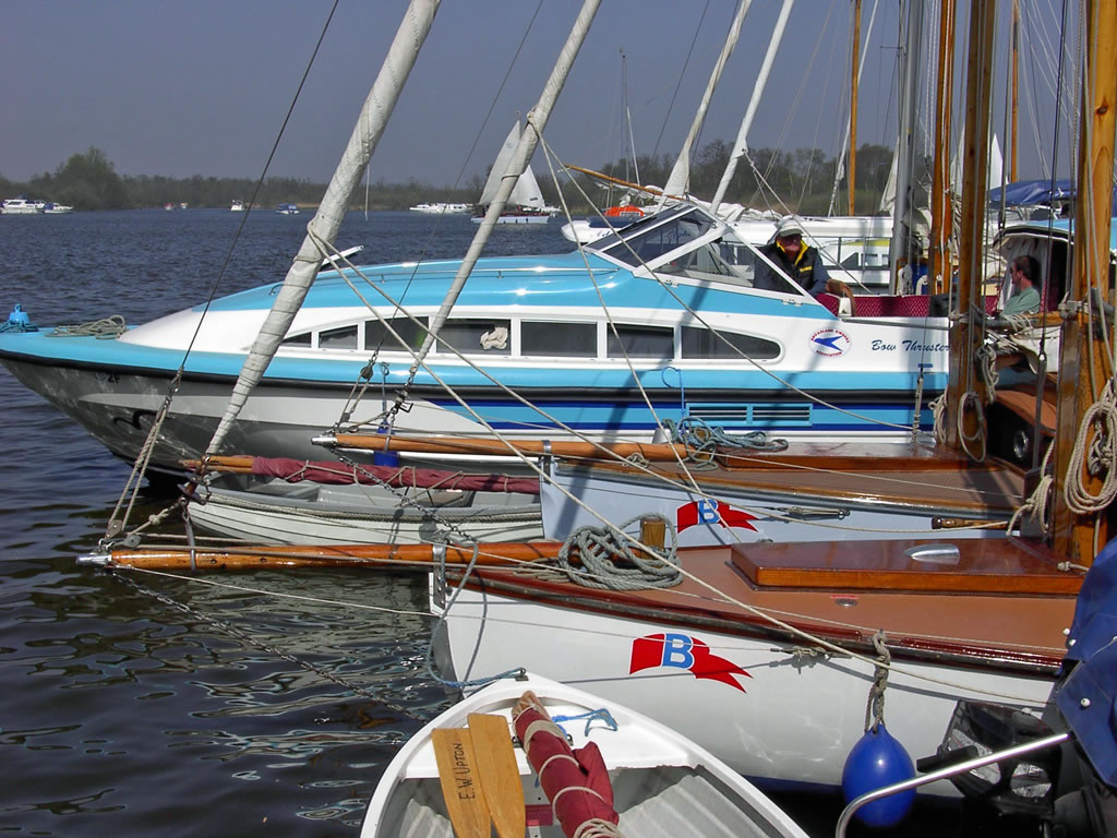
Salhouse Broad takes our vote for the most beautiful of the Norfolk Broads and yet it is one of the smallest. It is surrounded by ancient woodland and is the only Broad to feature a small sandy beach. It is ideal to anchor the boat and go for a walk, enjoy a picnic or let the kids splash around. |
||||||
 Beautiful Salhouse Broad surrounded by ancient woodland |
 Anchored in the middle of Salhouse Broad |
|||||
Ranworth Broad is split into two parts. The inner Broad is closed to boats and is a nature reserve. A thatched visitors centre shows the various wildlife that can be viewed from the upstairs viewing gallery overlooking the inner Broad. The remainder of the Broad is a boating paradise with all style, shape and size of boat, and their crew can often be found having a pint of local beer in the pub! Ranworth Broad is said to be haunted by a 12th century monk that is often seen rowing his boat out onto the Broad early in the morning mist. |
||||||
 All style, shape and size of boat on Ranworth Broad |
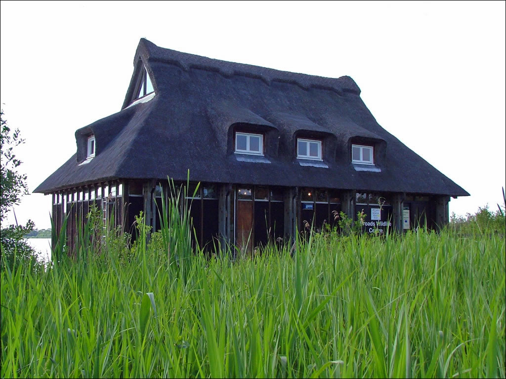 The thatched visitors centre at Ranworth Broad |
|||||
Beautiful Barton Broad is the second largest Broad and is popular with sailors. Regular sailing races are held in summer, organised by the Norfolk Punt Club (a unique kind of Norfolk sailing boat) and they have a pontoon anchored out in the middle of the Broad! Until recently Barton Broad could only be visited by boat, until they built a half-mile long wooden walkway through ancient woodland to a viewing point. Alternatively you could take a trip aboard a revolutionary solar powered boat. |
||||||
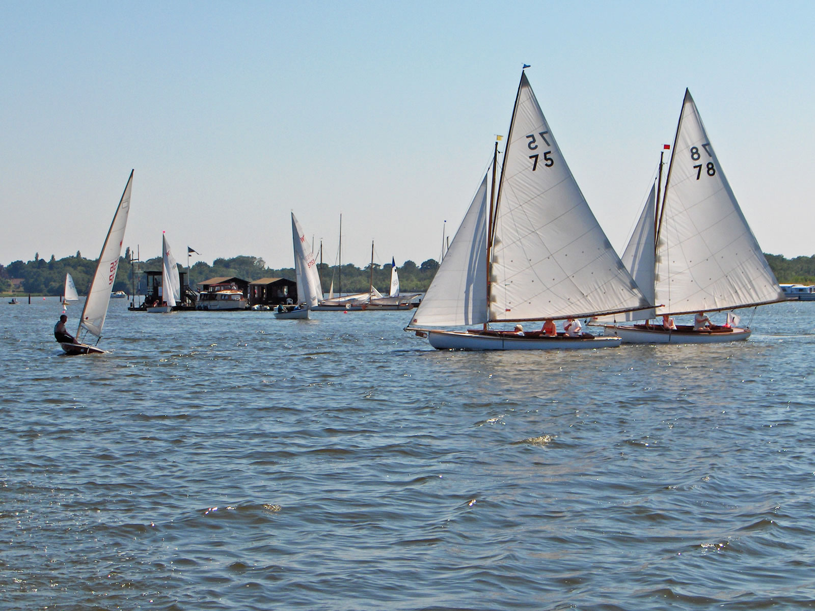 Sailing Races on Barton Broad |
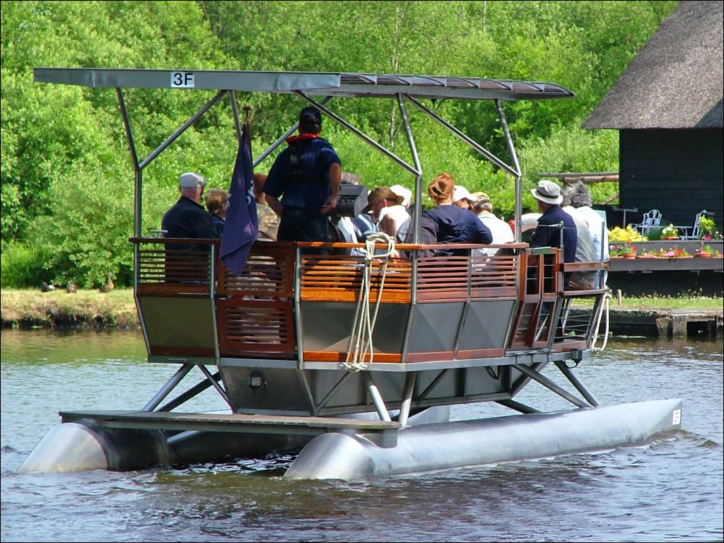 Solar Powered Boat trips onto Barton Broad |
|||||
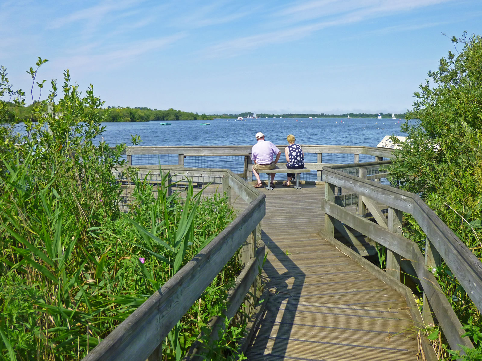 Barton Broad walkway and viewpoint |
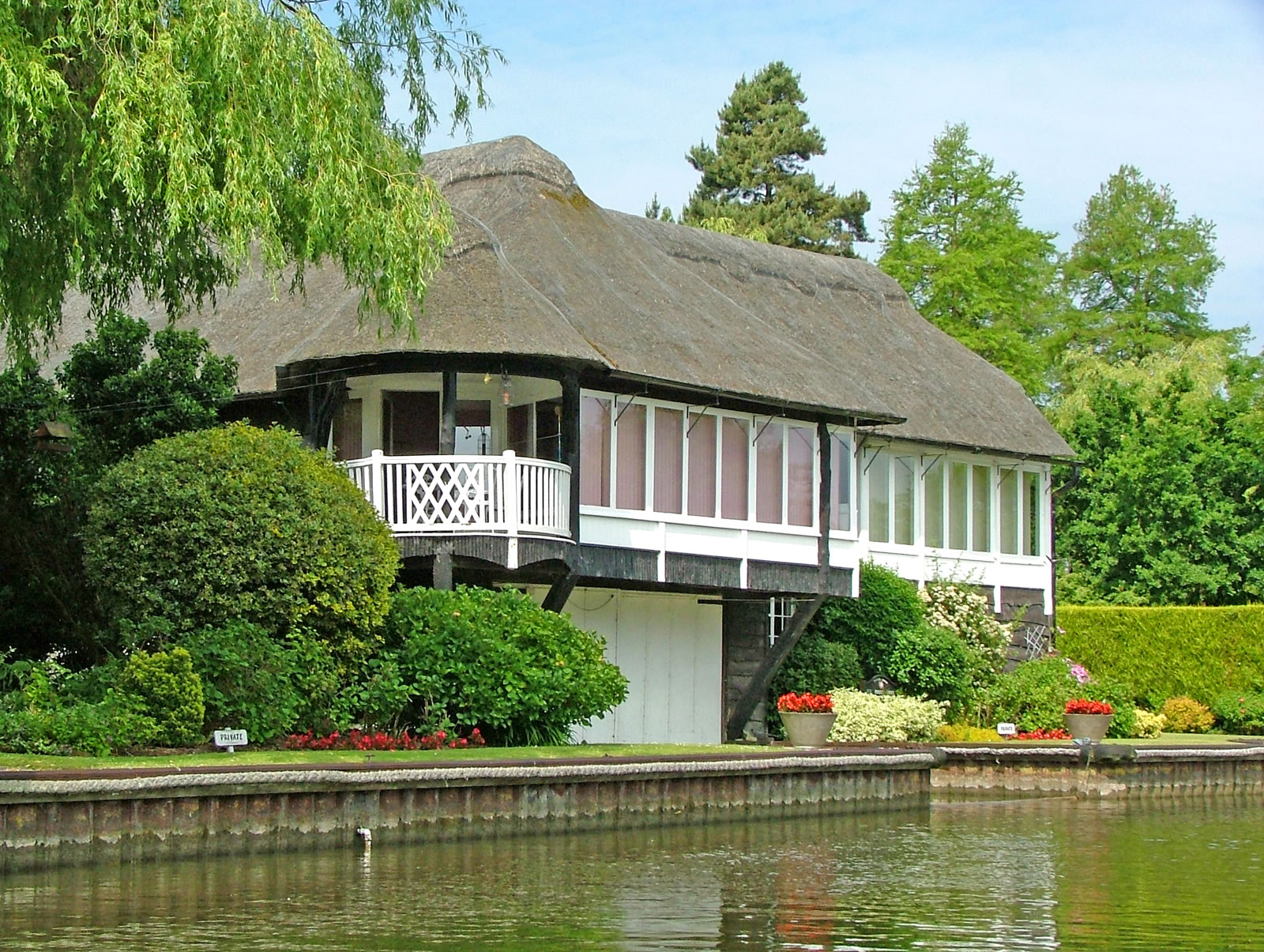 Thatched waterside home near Barton Broad |
|||||
Hickling Broad is the largest of the Norfolk Broads - big is beautiful remember! The Broad is popular with birdwatchers and has one of the largest nature reserves in the UK, attracting birdwatchers from all over Europe as it is a stopping point for many migrating birds. Horsey Windpump near Hickling Broad is one of the most spectacular windmills in Norfolk and from the top you get a fabulous view of the Broads and nearby coastline. |
||||||
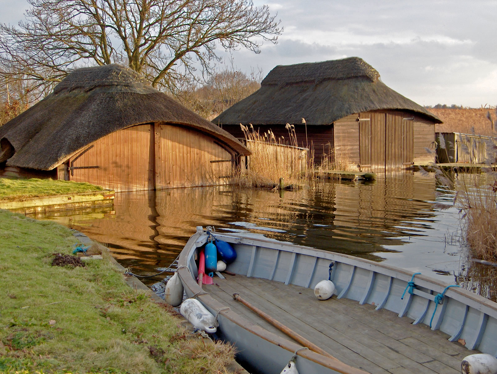 Thatched boathouses on Hickling Broad |
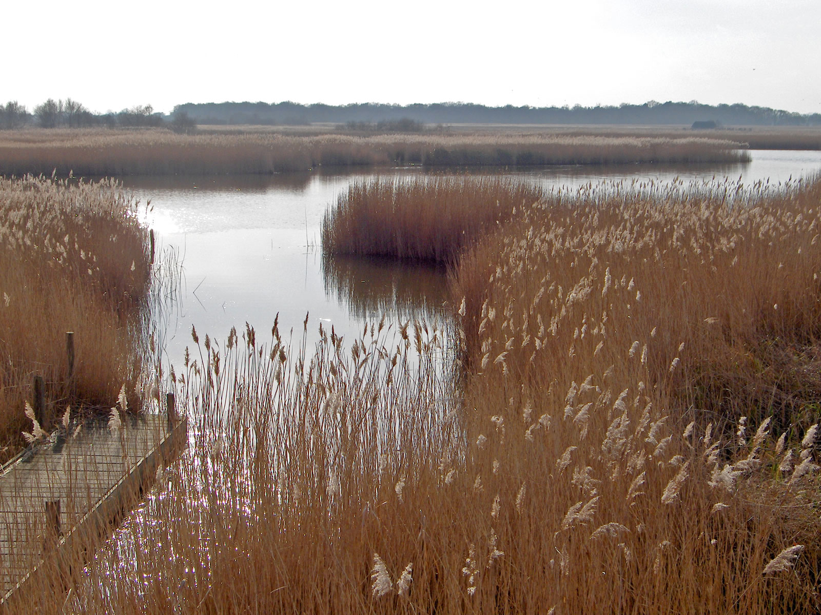 Views out over the reeds towards Hickling Broad |
|||||
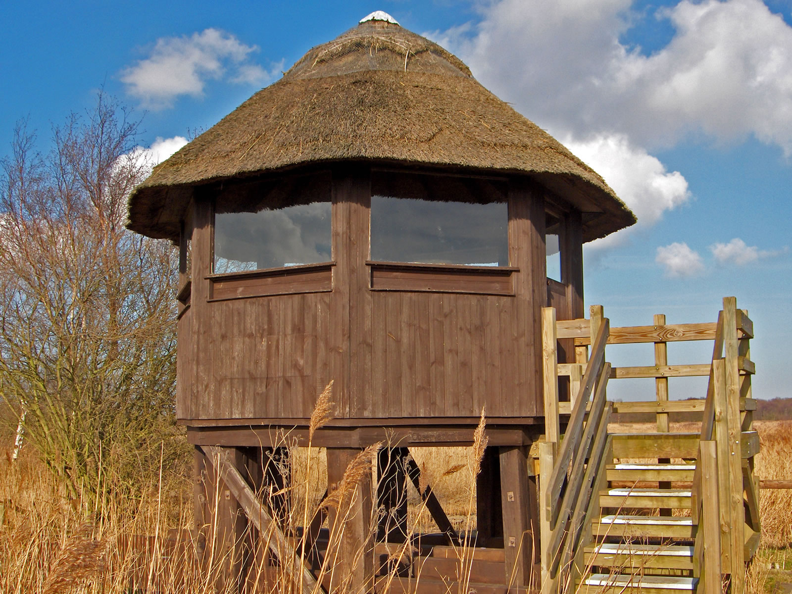 Wildlife observation tower over Hickling Broad |
 Horsey windmill near Hickling Broad |
|||||
At their closest point, The Norfolk Broads are less than one mile from the North Sea. There is little protection, only a small sand bank, and to make matters worse, the land slopes AWAY from from the shore - yes, that means most of the Norfolk Broads landscape is BELOW sea level. Despite this, the area has not been flooded since the dreadful floods of 1953, but with global warming causing sea levels to rise, regular flooding is a real possibility and this will have a devastating effect on the ecology of the area. We are in danger of loosing this beautiful landscape and its wildlife forever - we have been warned! |
||||||
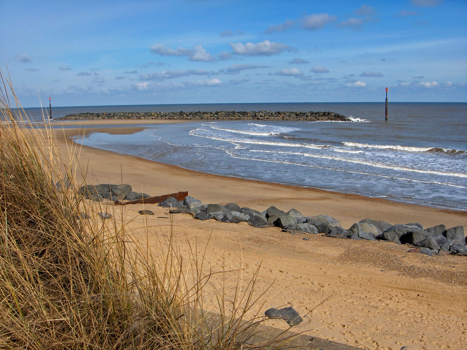 The beautiful, quiet beach at Sea Palling |
||||||
You can discover more about the county of Norfolk and the Norfolk Broads, here in the East of England, by taking a FREE online guided tour in pictures at TourNorfolk.co.uk. Come and discover that Norfolk has the greatest concentration of ancient churches in the world, there are more Tudor buildings in one Norwich street than in the whole of the city of London and there are miles and miles of wide sandy beaches, pine forests and salt marshes, most of which is designated as an area of outstanding natural beauty. The 2012 Olympic Games will be held in this area of the world, so we hope to welcome a greater number of world wide visitors to Norfolk and the East of England over the coming years - we just hope the Norfolk Broads will remain protected, not only until 2012, but also for future generations. |
|||||
| What do you think? is this article fact or fiction? send us your thoughts to Comments@TourNorfolk.co.uk | |||||
 |
Nearby Tours |