|
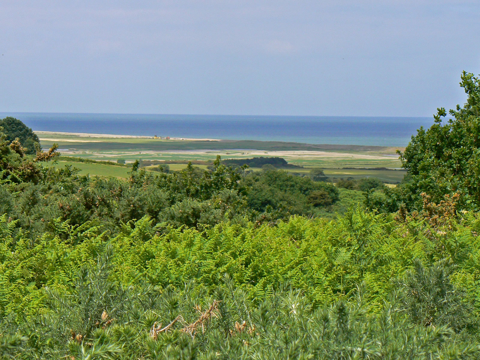
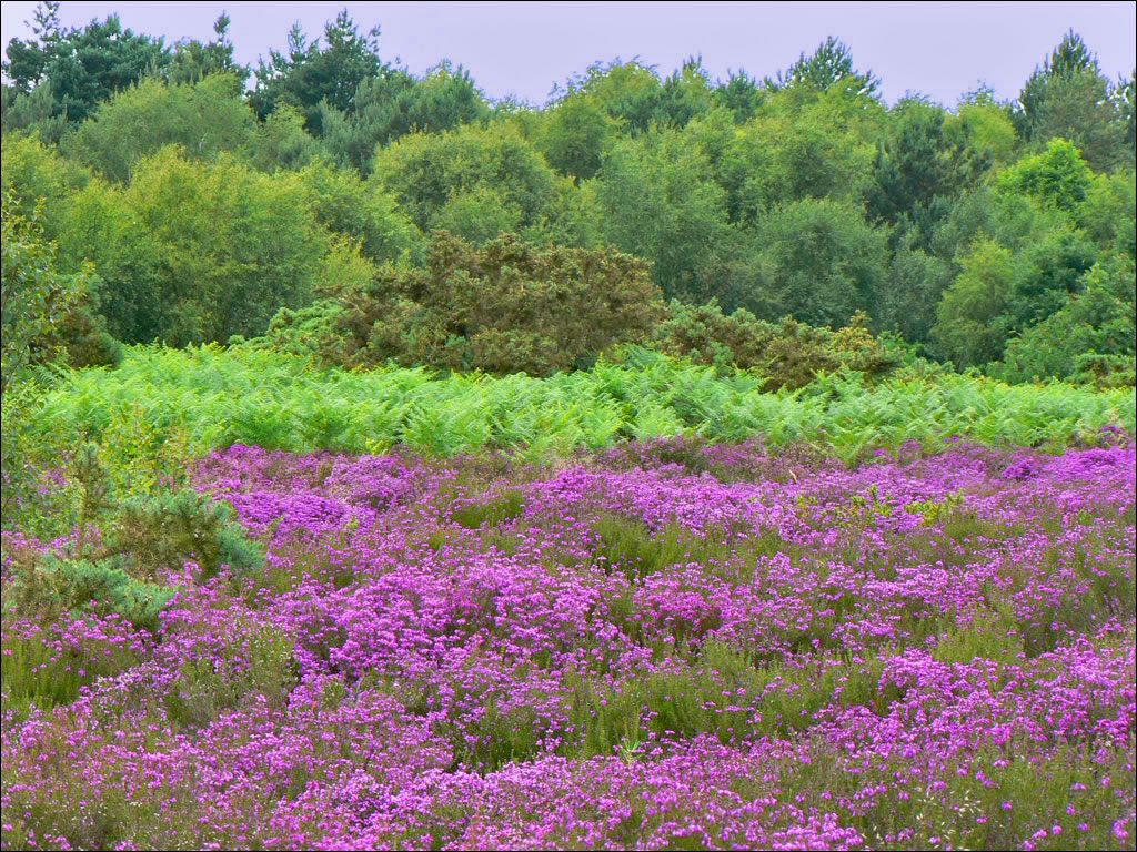
Salthouse Heath was created at the end of the last ice age, when the ice sheet ground to halt at about this point. As the ice melted, it dropped all the material it was carrying and this formed the ridge we see today. The heath gives wonderful views of the Norfolk Coast, the village and church below. The heath itself is crisscrossed by a network of footpaths and is great for walking. The heath is like a wild garden, full of heather and ferns, plus wild flowers including foxglove and rose. |
|
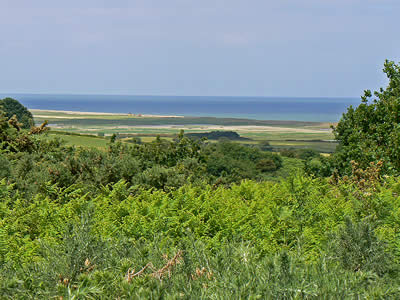
The view of the coast from Salthouse Heath |
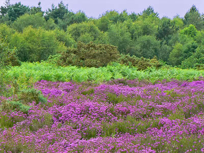
Flowering Purple Heather on Salthouse Heath |
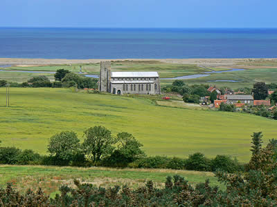
Salthouse church from Salthouse Heath |
| |
|
|
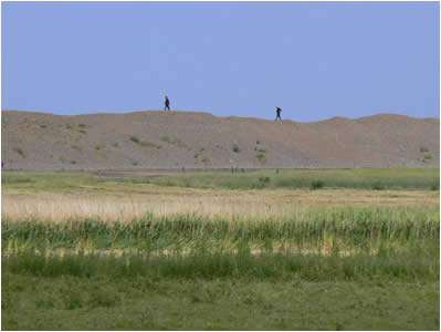
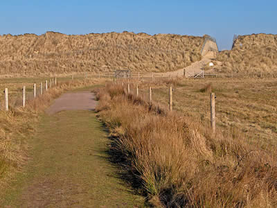
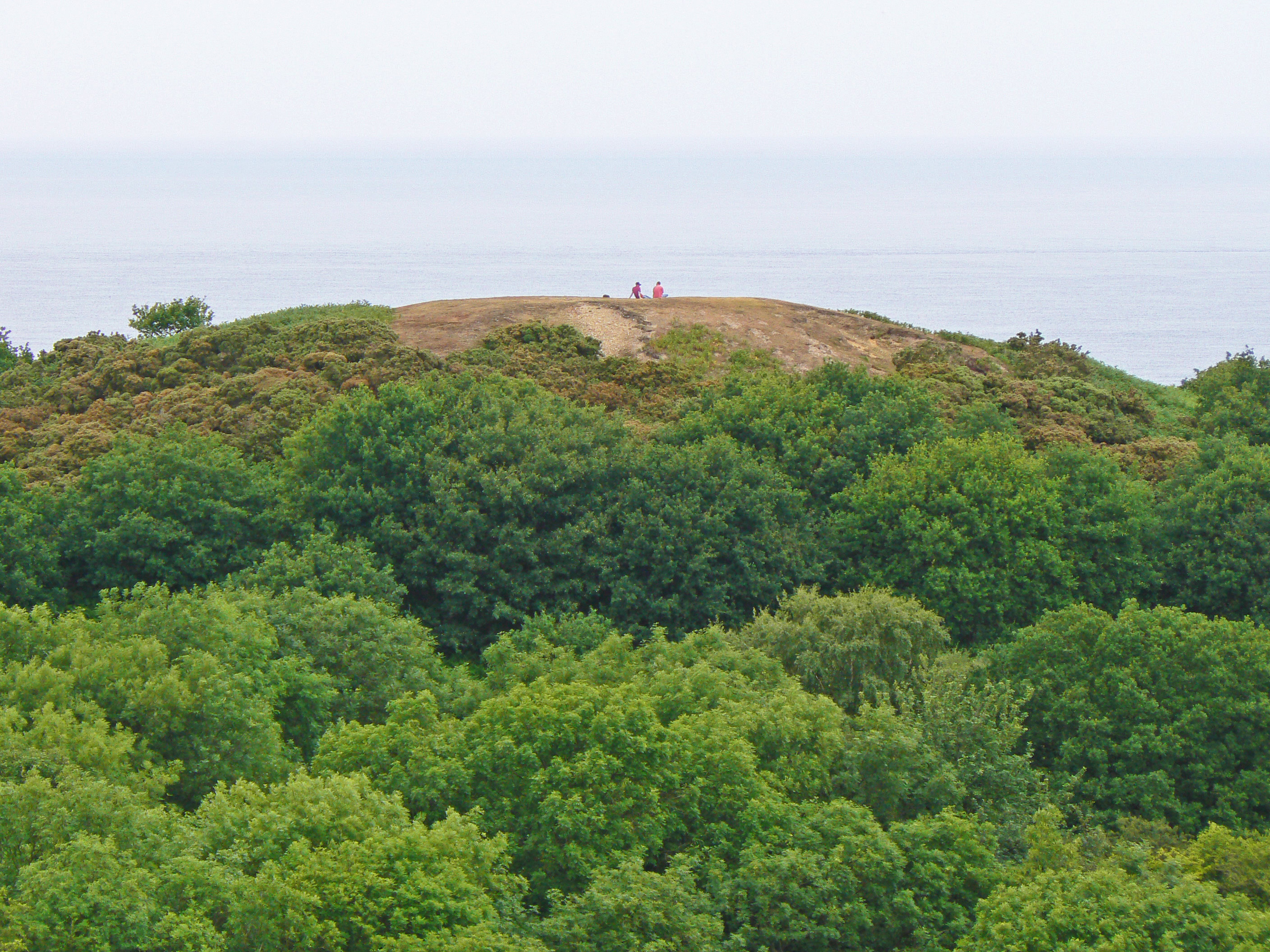
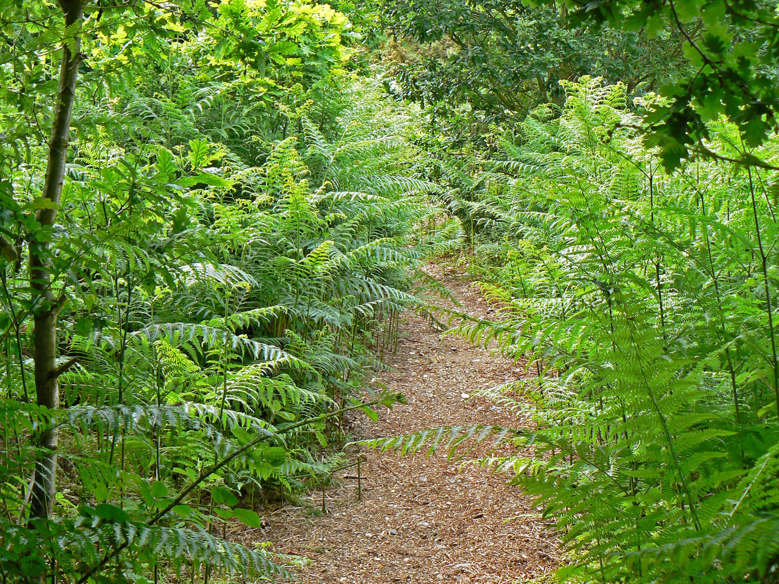
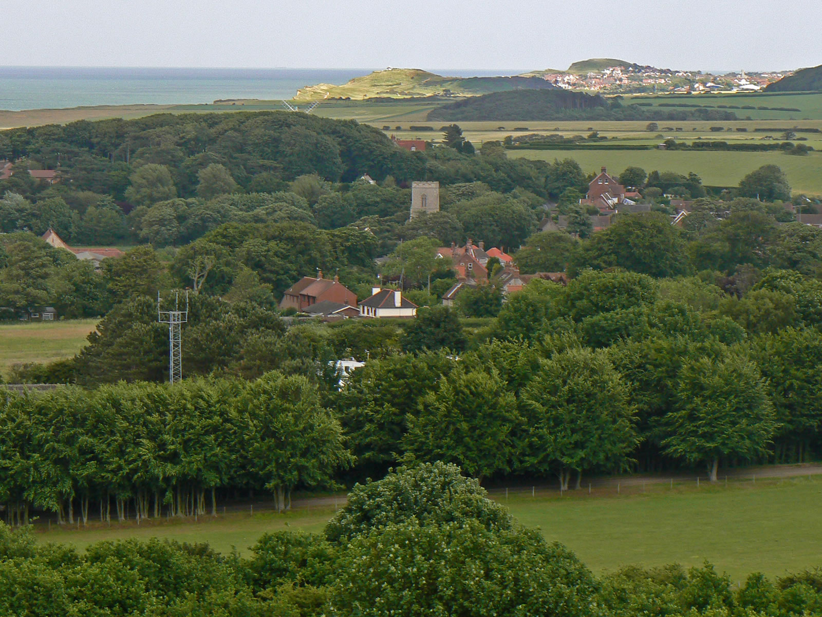
Muckleburgh Hill may only be a few hundred feet high, but it is a spectacular view from the summit. The dense woodland at the base of the hill makes finding the path to the top a bit of a puzzle, but when you do find and climb it, you are rewarded with views over Weybourne and Sheringham to the east and Salthouse and Cley next the Sea to the west. Immediately below Muckleburgh Hill is the Muckleburgh Collection, a museum of military hardware. |
|
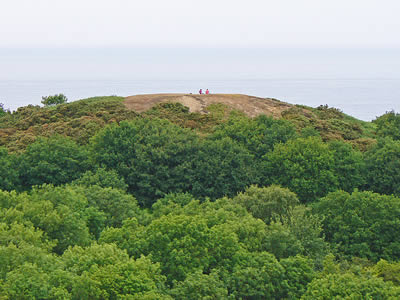
The summit of Muckleburgh Hill |
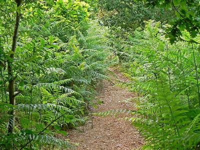
Footpaths to the top of Muckleburgh Hill |
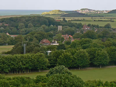
View of Weybourne from Muckleburgh Hill |
| |
|
|
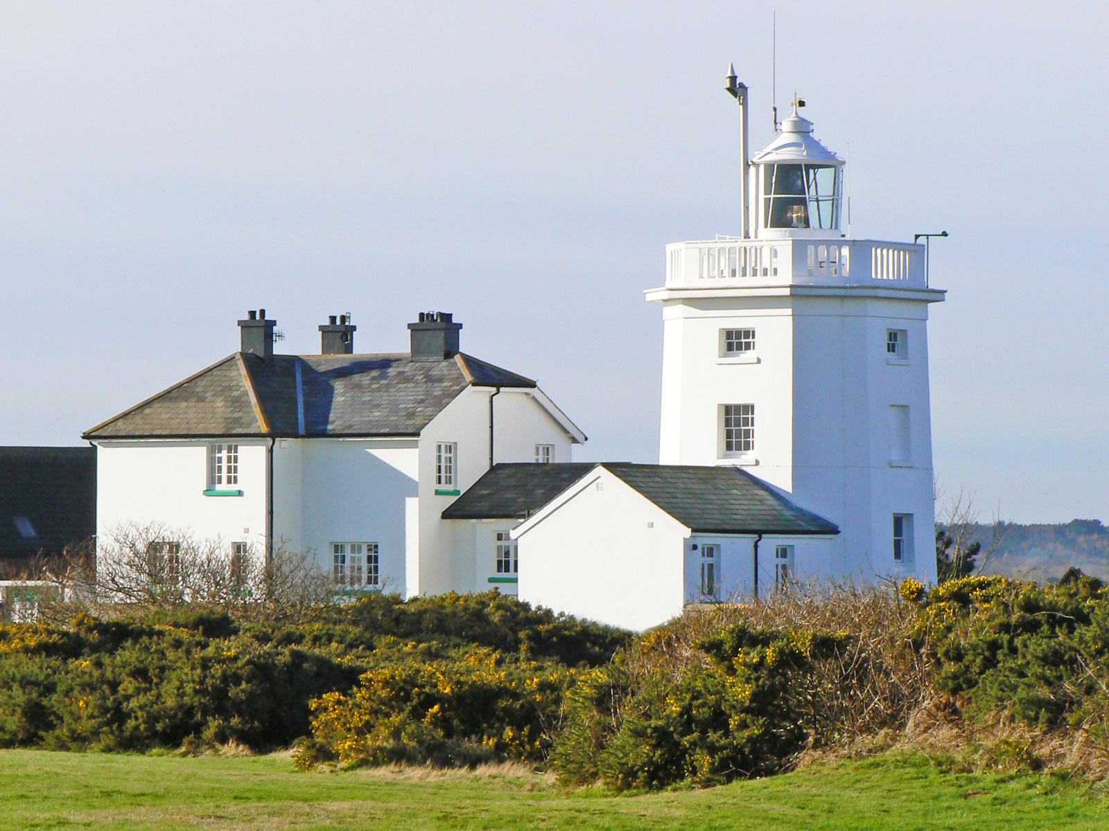
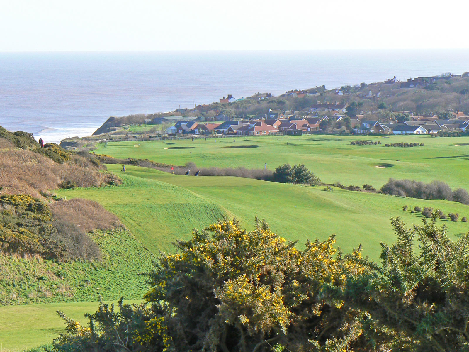
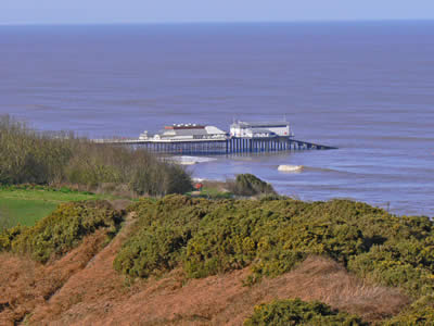
This fabulous cliff-top walk takes you from the lovely east Norfolk village of Overstrand into the heart of Cromer (about a mile and a half). Along the way you get great views of the sea, Cromer Lighthouse, Royal Cromer Golf Club and Cromer Pier. There is a large car-park at the Overstrand end, so you may like to start your walk there. Once you have walked to Cromer along the cliff-tops, you could always return via the beach. The cliff-top walk is not really suitable for young children as there is no fence along the cliff edge. |
|
Cliff top path to Cromer |
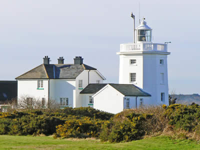
Cromer Lighthouse |
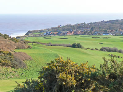
Royal Cromer Golf Club |
| |
|
|
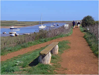
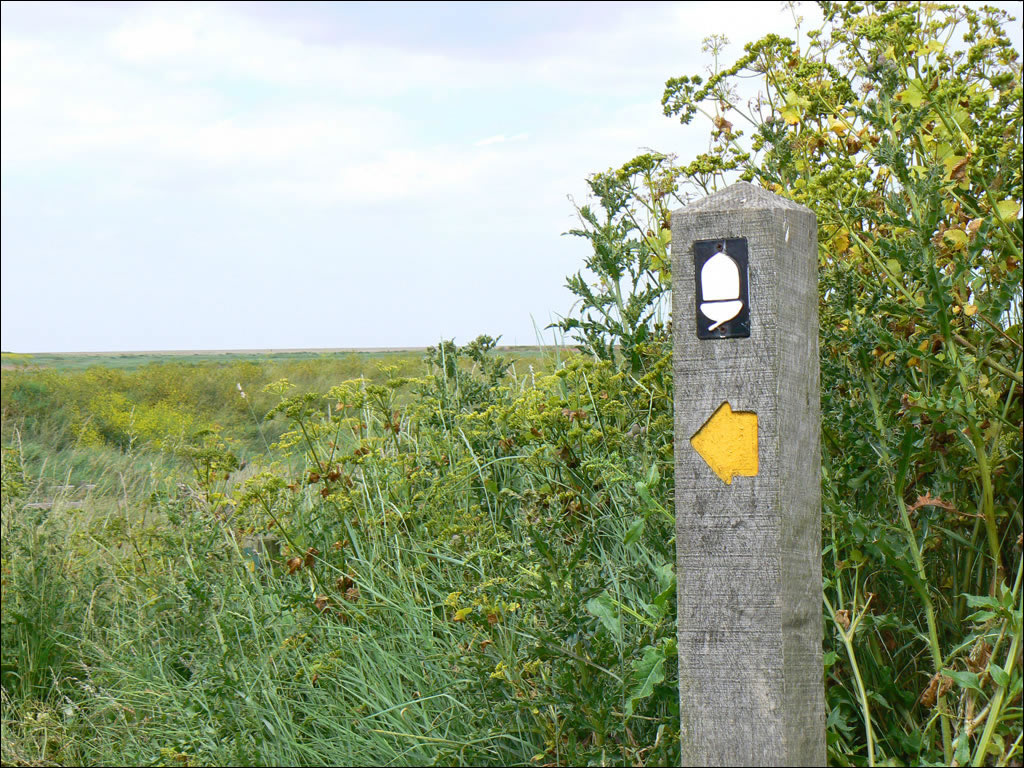
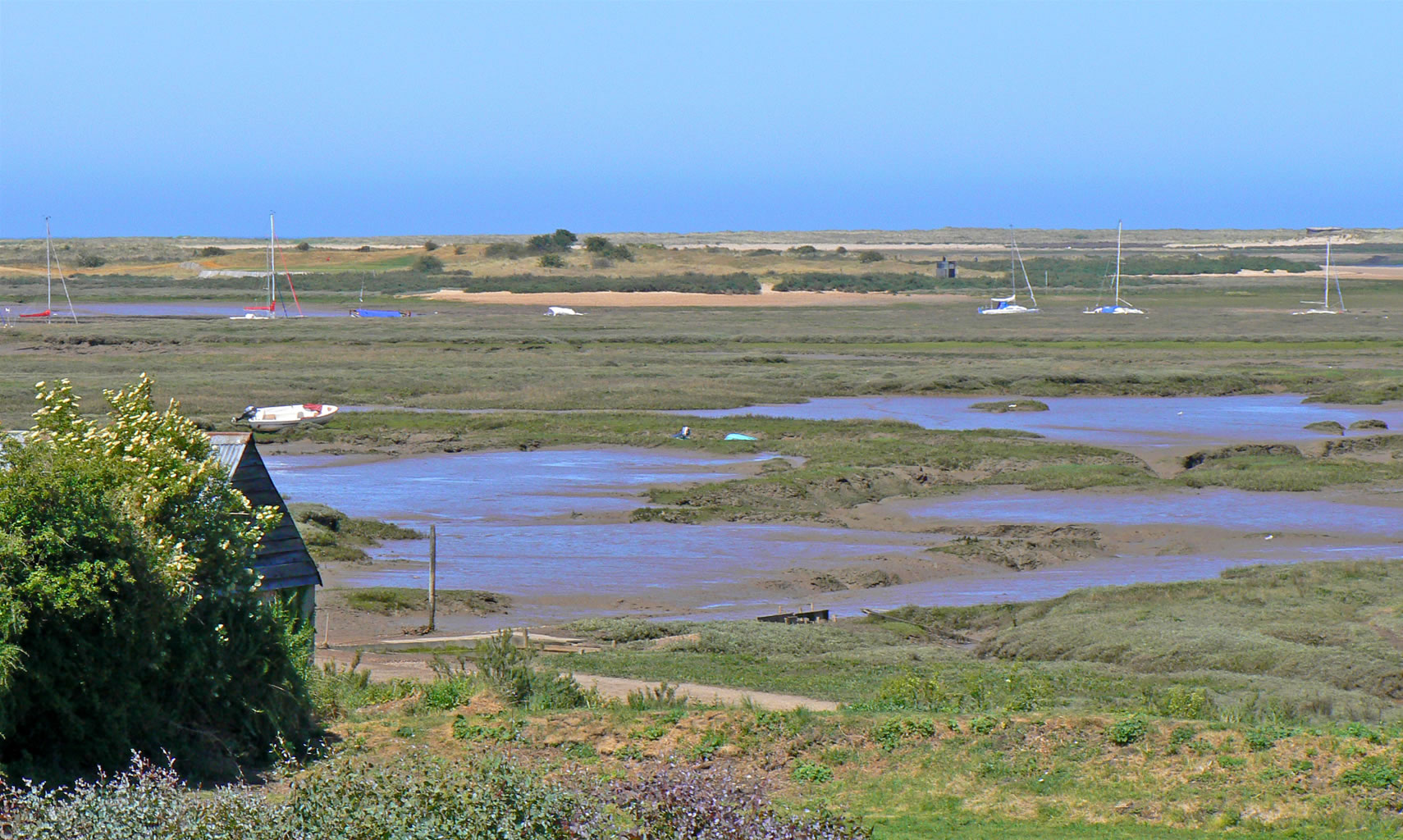
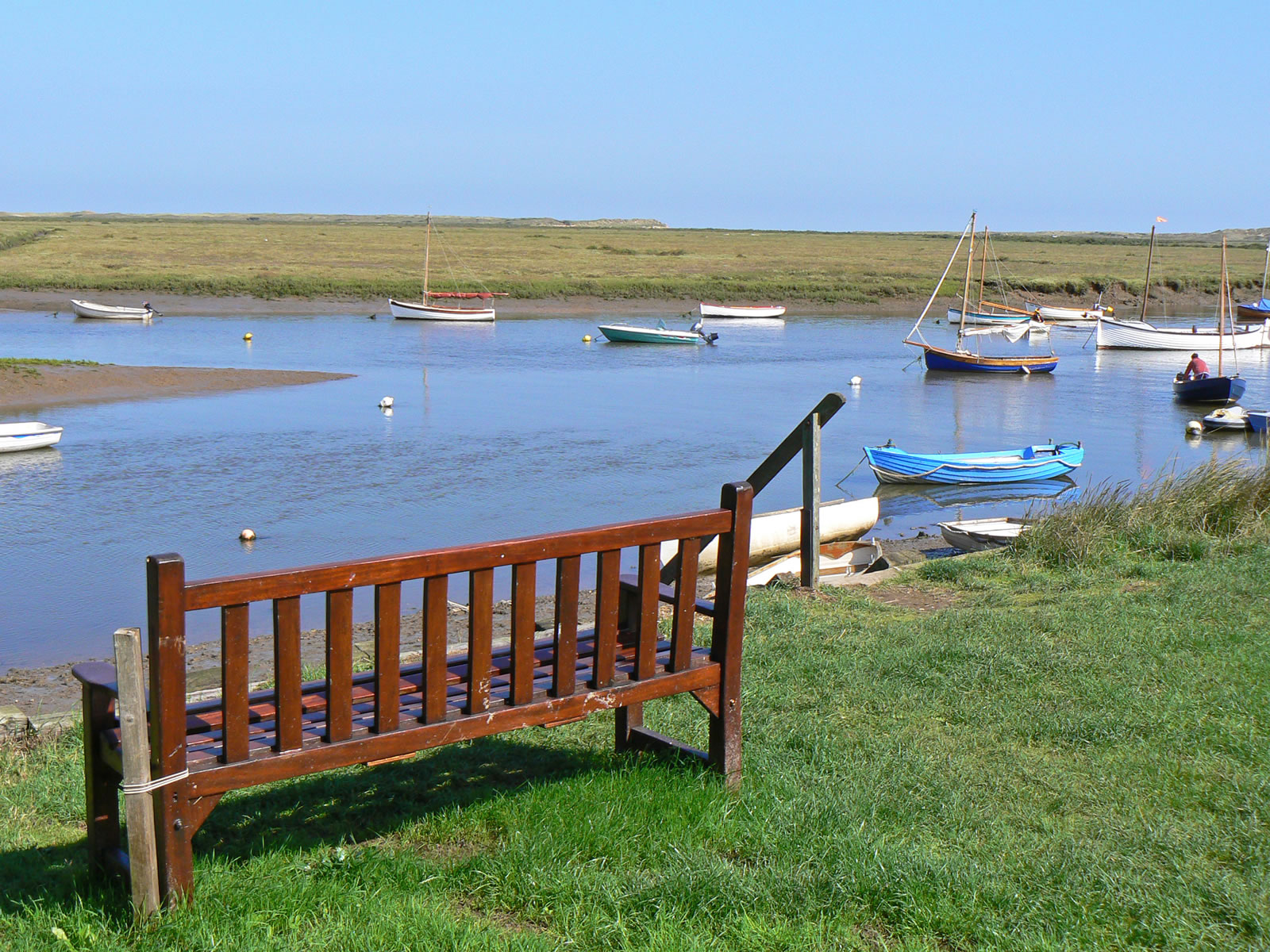
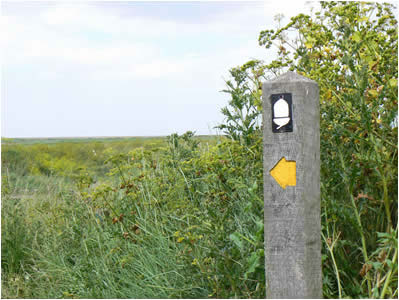
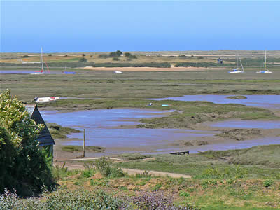
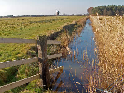
The North Norfolk Coast Path is a popular route for walkers of all ability. One of the most popular sections of this long distance footpath is the section leading from the village of Blakeney out over the marshes towards the sea and eventually to Cley next the Sea (just under 3 miles). The path gives lovely views and you will be able to see Cley Mill in the distance. Silting has left a fascinating landscape of marshes, sand hills and mud banks, with many creeks and channels twisting and turning their way through. Horse races were once a regular feature on these marshes, with the last race taking place in 1826. |
|
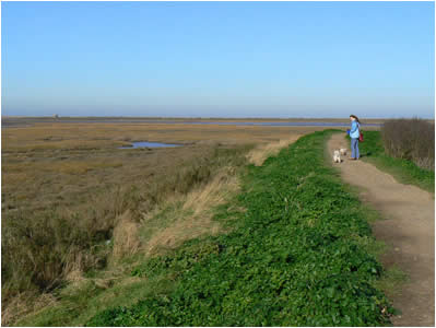
The coast path at Blakeney |
Cley marshes footpath |

View of Cley Mill from the marshes |
| |
|
|
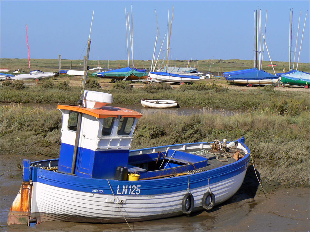
Another popular section of the North Norfolk Coast Path leads from Brancaster Staithe to Burnham Overy Staithe (approx 4 ¼ miles). The whole area has been designated an area of outstanding natural beauty (AONB) and it is easy to see why. There are fabulous views over the marshes which are popular with residential and migrating birds. Brancaster is a working fishing village and you can treat yourself to some fresh shellfish sold from a stall in Brancaster Harbour. |
|
The view from the Norfolk Coast path at Brancaster Staithe |
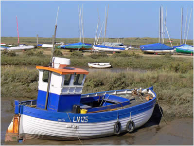
Sailing dinghies and boats at Brancaster |
Paths and views around Burnham Overy Staithe |
| |
|
|
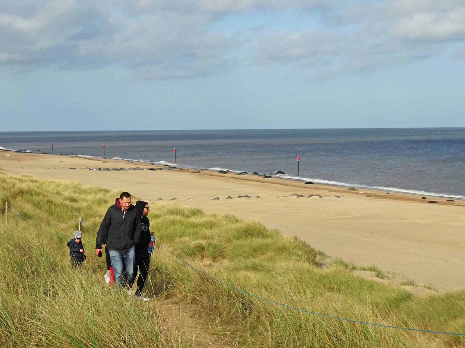
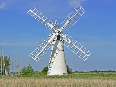
Horsey is the closest Broadland village to the coast - about a mile from the sea. A magnificent windpump sits on Horsey staithe and is visible for miles around. A footpath follows the a dyke that leads to Horsey Mere, a windswept broad. You can either follow this footpath to Brograve Mill, or take the National Trust path that leads from the windpump over NT land towards the coast at Horsey Gap. This short walk gives takes you from a Broadland landscape to an empty windswept beach. The path does get a little muddy in winter, but there is a remote country pub along the way to keep you refreshed. In winter, the beach is a popular breeding ground for a colony of grey seals. |
|
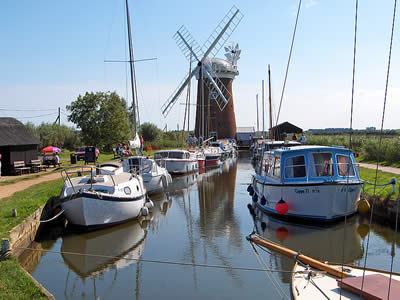
Horsey Dyke and Windpump |
National Trust land leads to the beach at Horsey |
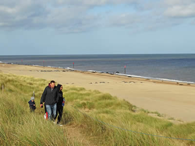
A family walk along the sand dunes overlooking Horsey Beach |
| |
|
|
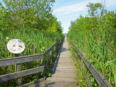
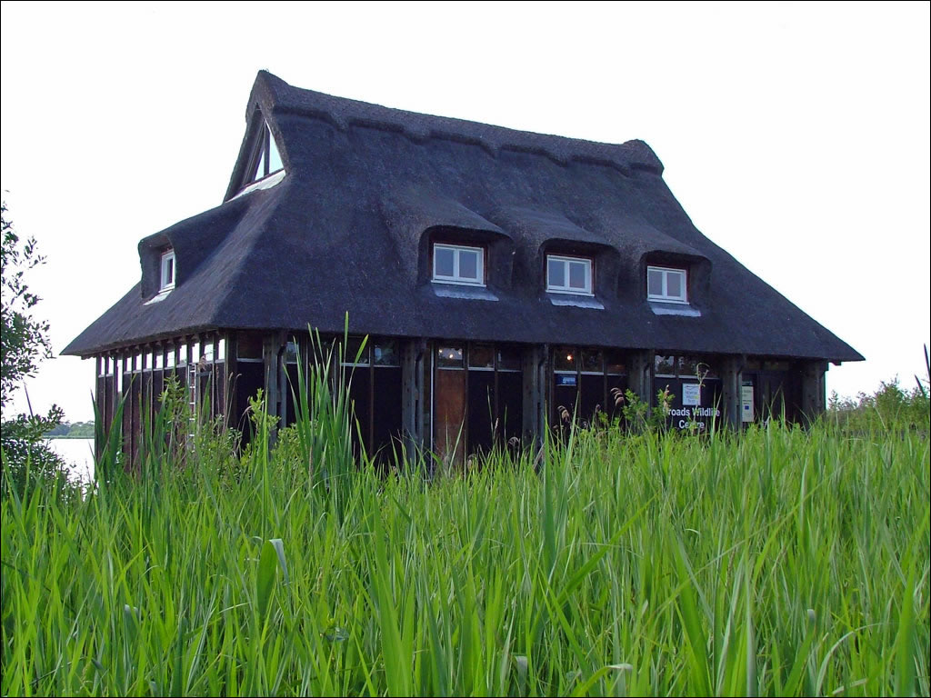
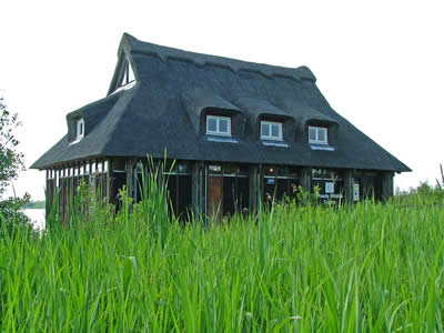
Ranworth is a lovely Broadland village, actually fronting Malthouse Broad with Ranworth Broad (to the west) closed to boats as it is a nature reserve. Malthouse Broad is a boating paradise with all style, shape and size of boat, and their crew can often be found having a pint of local beer in the pub! The village is dominated by its church dating back to 1370 and is known as the Cathedral of the Broads. Walks extend in nearly every direction, with popular walks being to the church and nature reserve (where there is a visitors centre) and a 2 mile loop along the edge of Malthouse Broad, passing South Walsham Broad and finishing back in Ranworth at the pub! |
|
Ranworth Nature Reserve |
The footpath near South Walsham Broad |
Fairhaven Woodland and Water Garden near Ranworth |
| |
|
|
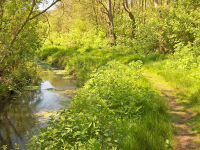
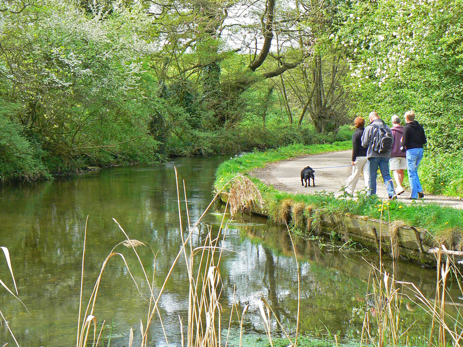
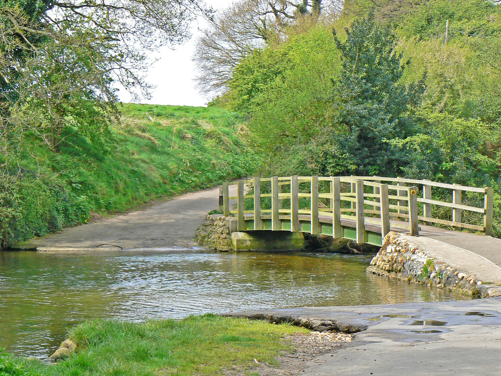
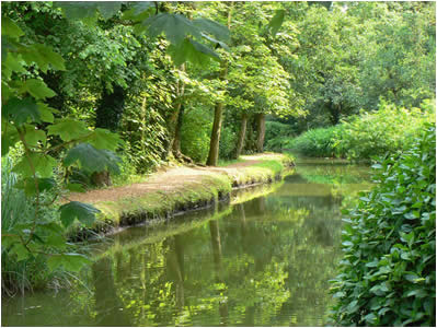
Castle Acre lies at a strategic point where the Peddars Way (an old Roman road, now a long distance footpath) crosses the River Nar. In fact the word "Acra" is a Saxon word for stream or running water and it is clear that the river played an important part in the history of the village. Today, it is a lovely place for a walk and to take in the views of the surrounding countryside and the historic village of Castle Acre, Castle and Priory. |
|

Walking along the banks of the River Nar |

The road crosses the river at a ford |
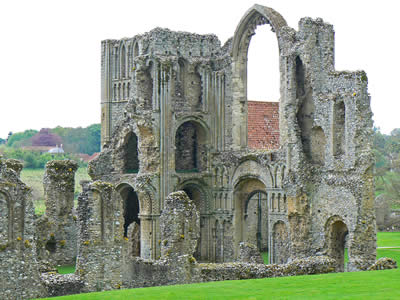
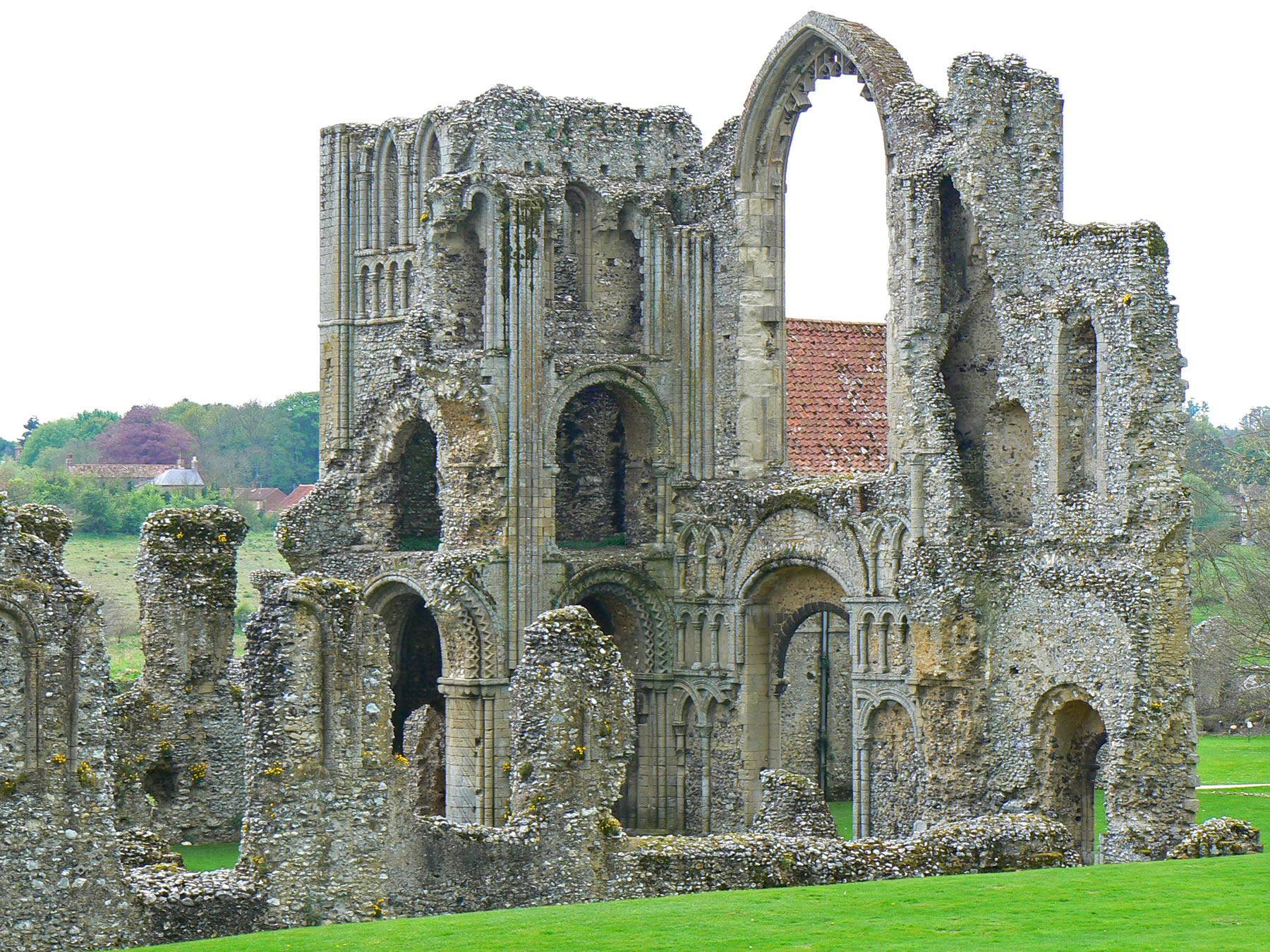
The ruins of Castle Acre Priory |
| |
|
|
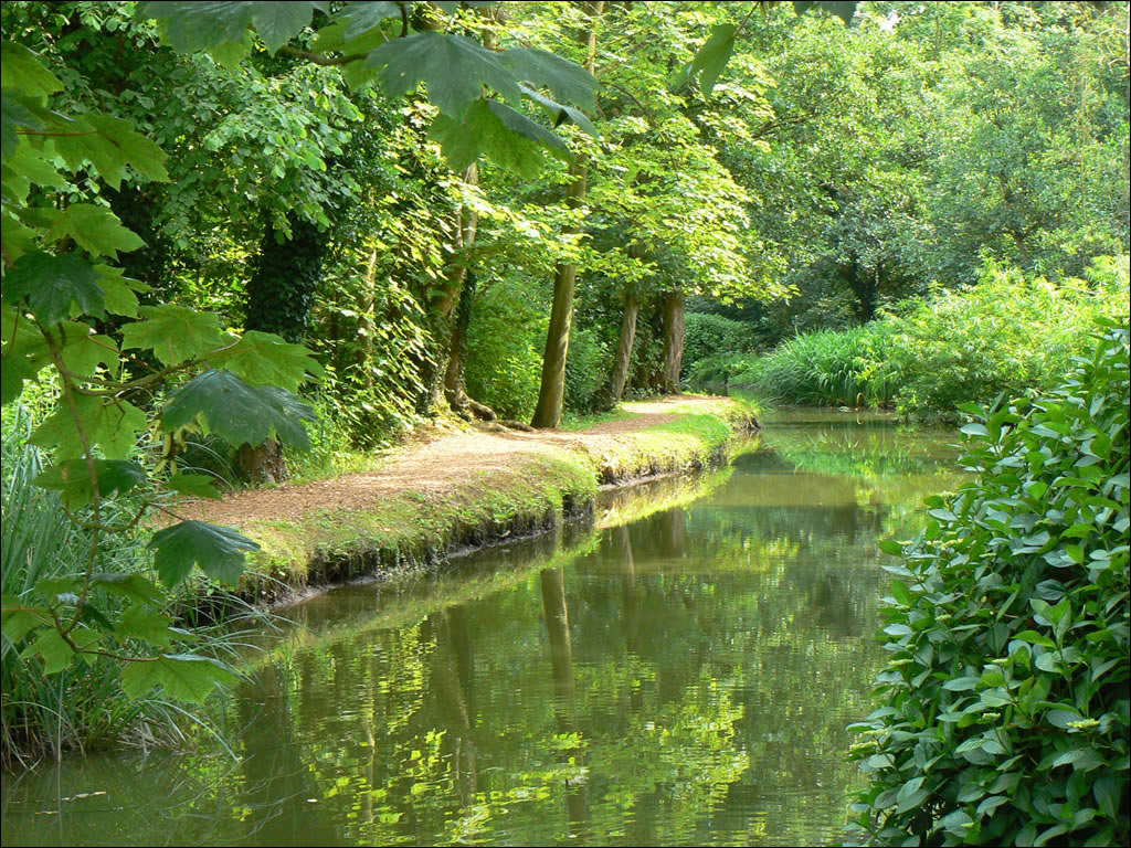
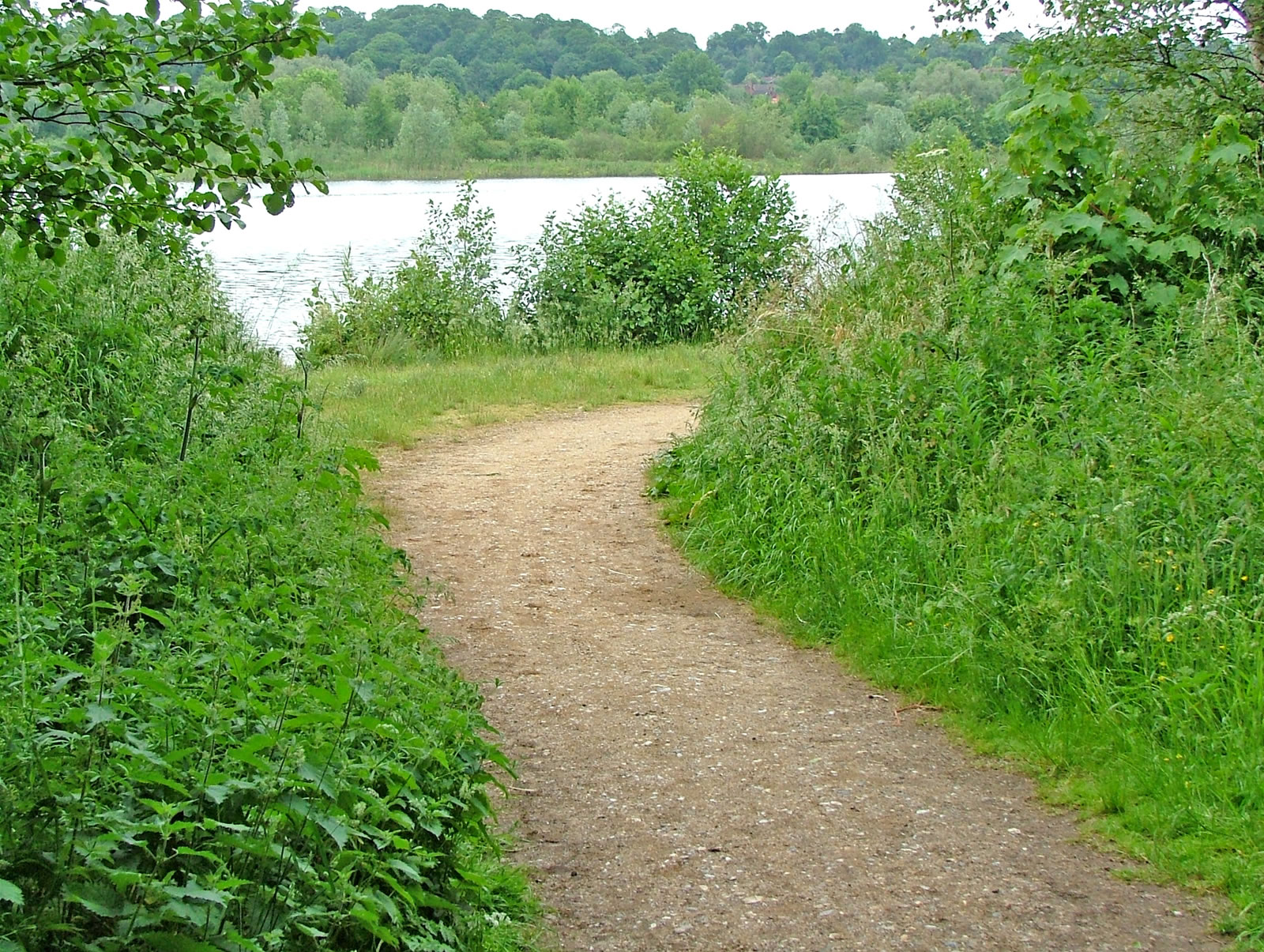
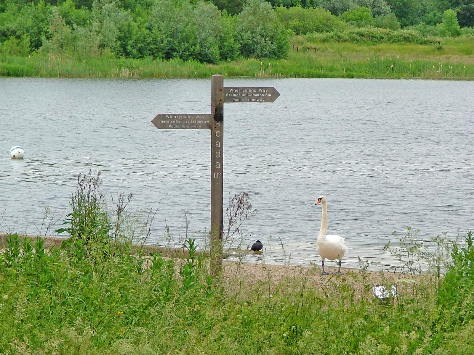
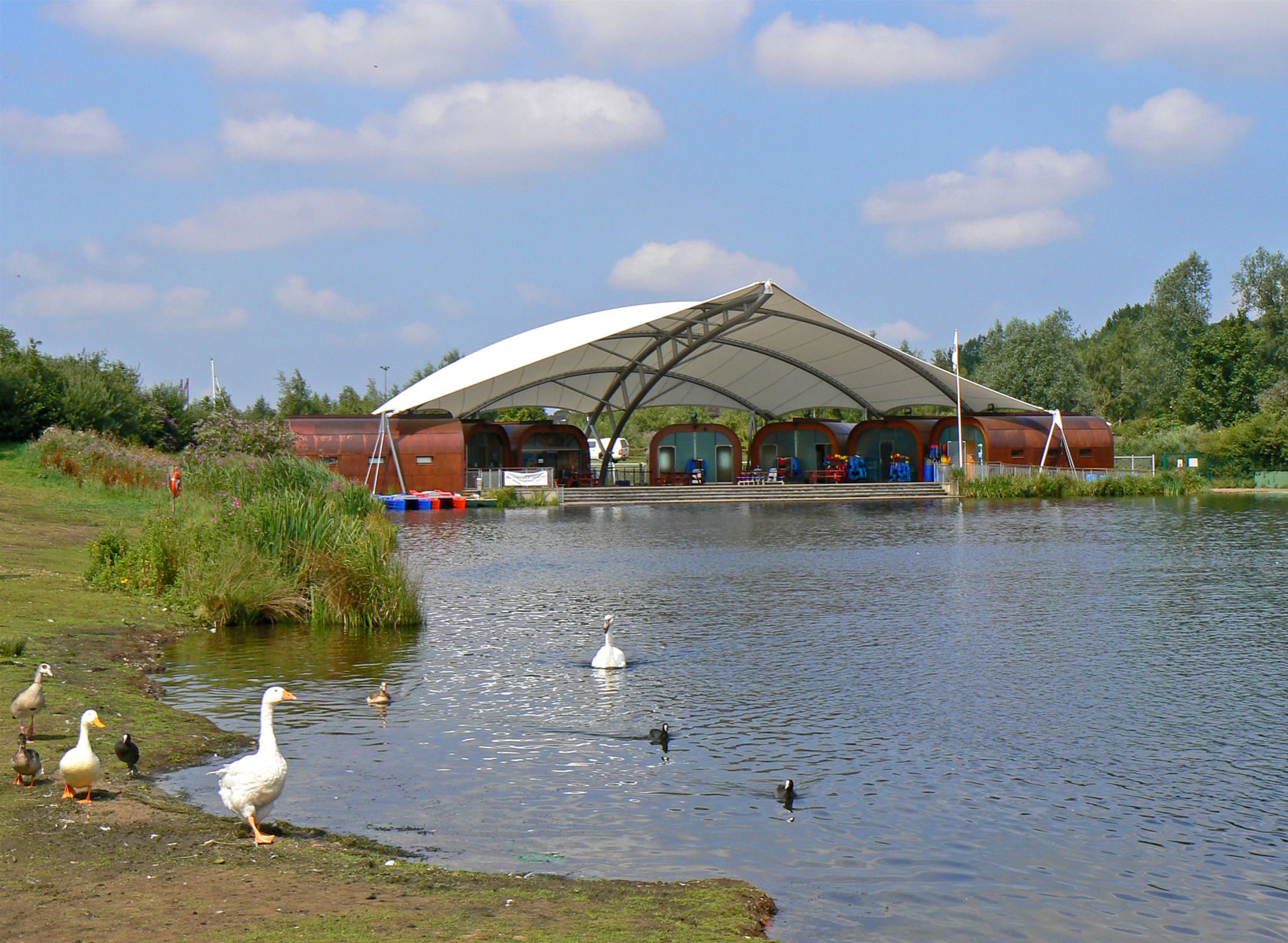
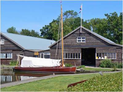
Whitlingham Country Park is a woodland and water park just southeast outside Norwich at Trowse and is a great place to enjoy a family walk. Built on the site of a quarry whose gravel was used for a number of major local construction projects, Whitlingham offers a full range of water-based activities, including sailing, windsurfing, kayaking, rafting and canoeing. A path leads right around the Great Broad, which is about 3 miles for a complete circuit. You don't have to walk the entire way round however, with the majority of visitors opting to walk a portion of the perimeter. After your walk there is good cafe to enjoy a refreshment in the visitors centre. |
|

Paths at Whitlingham Park |
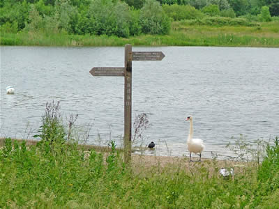
Signposts mark the Wherryman's Way |
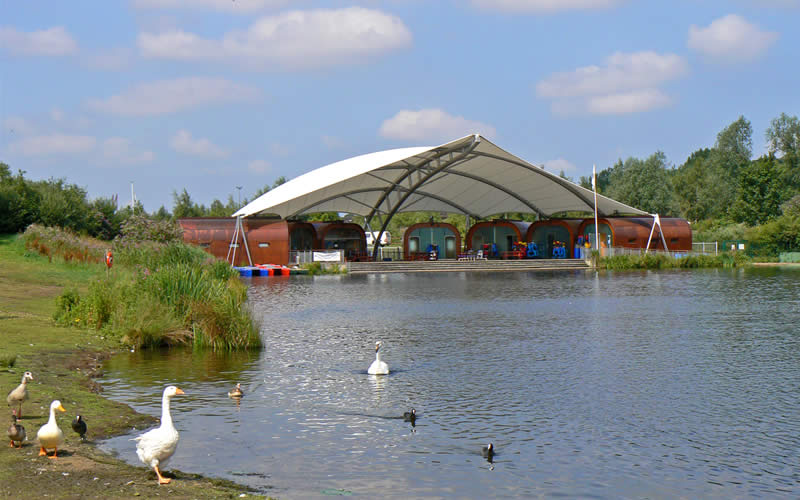
Whitlingham Adventure centre |
| |
|
|
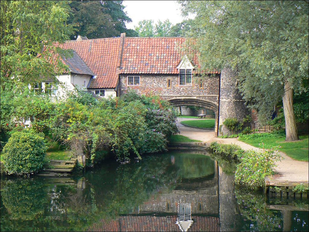
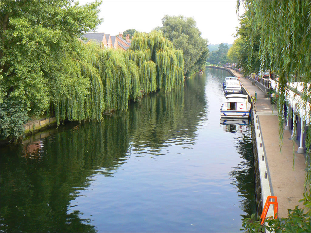
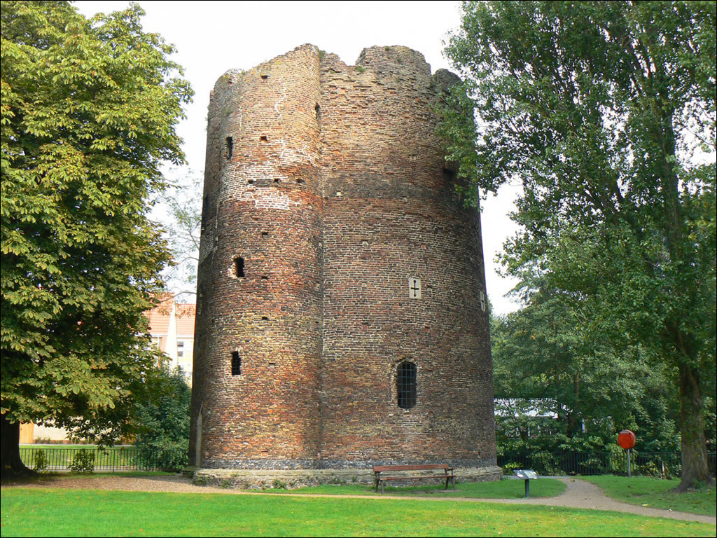
The Riverside Walk is a
picturesque walk along the banks of the River Wensum, in the shadow of Norwich Cathedral. It makes a complete change from the city centre and with a few pubs along the way, it's a great thing to do on a sunny day. Two interesting buildings you will come across on the walk are Pulls Ferry (a 15th century arch that marks the start of an ancient canal to the cathedral) and Cow Tower (a medieval brick defensive lookout that was built at the end of the 12th Century at a strategic bend in the River Wensum as part of the city defences). |
|
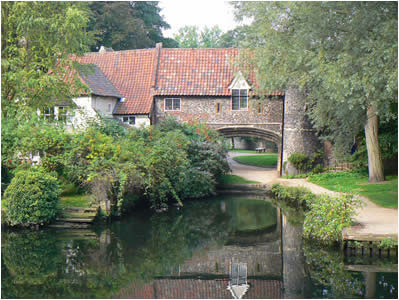
Norwich Pulls Ferry |
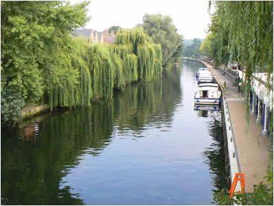
Norwich Yacht Station |

Norwich Cow Tower |